
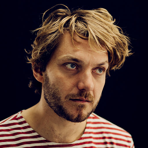
Bert Spaan is a freelance creative technologist and the lead developer of Allmaps.
Allmaps makes digitized maps easier to find and use across collections and institutions.
Allmaps helps people georeference and explore maps from libraries, archives and museums around the world. Its open source tools work across collections, and the resulting georeference data becomes part of a shared, open database that anyone can use.
The images stay with the institutions that publish them through IIIF. The georeference data is open and reusable, so the work people contribute can remain useful beyond Allmaps itself.
Allmaps was founded in 2021 by Bert Spaan and Jules Schoonman. We love maps, but we can never find the maps we're looking for. We both think working with digitized maps is far too complicated. It should be easier and more fun!
Bert Spaan is a freelance creative technologist and the lead developer of Allmaps.
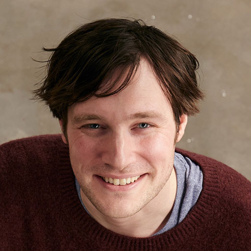
Jules Schoonman is a digital curator at Delft University of Technology Library, a founding partner of Allmaps. He leads educational projects for Allmaps.
Allmaps is shaped by people with backgrounds in cartography, software development, design and cultural heritage.
Many others contribute code, documentation, ideas and feedback through GitHub, the IIIF Maps Community Group and our institutional partners.
Allmaps works with maps published through IIIF and brings georeferencing from across collections together as open data. The images stay with the institutions that publish them. We make it easy for institutions to bring the georeference data back into their own systems, so work done with Allmaps can improve access to maps wherever their collections are used.
The work people put into georeferencing should remain useful beyond Allmaps. We use open, documented standards such as Georeference Annotations, so people can download, preserve, adapt and reuse the data in other projects. Access to that data should never depend on a subscription or continued use of our tools.
Allmaps is an ecosystem of open source libraries, plugins and applications. These tools can be used together or combined with other software. We keep individual tools focused and simple, so people can use the parts they need and build on them for their own projects.
Working with digitized maps should be approachable and fun. You can start georeferencing with Allmaps Editor without creating an account or setting up specialist software. We aim to keep the tools easy to use and collect as little personal data as possible.
Bert Spaan and Jules Schoonman lead Allmaps’ development and manage the project. They work with independent developers and institutional partners to turn shared needs into open source tools that benefit the wider community.
The Allmaps Advisory Board helps steer the project and sets priorities for the annual roadmap together with the Allmaps team. It brings together representatives from Allmaps Innovators, the IIIF Consortium and long-term institutional partners, alongside the founders.
Through the IIIF-Allmaps partnership, institutions support ongoing maintenance and new development. Partners receive dedicated services, training and support, while Allmaps’ software and georeference data remain open.
Interested in working with Allmaps? Get in touch or learn how your institution can support the project.