See how people georeference their collections and use Allmaps’ plugins, open source tools and georeference data.See how people georeference their collections and use Allmaps’ plugins, open source tools and georeference data.See how people georeference their collections and use Allmaps’ plugins, open source tools and georeference data.
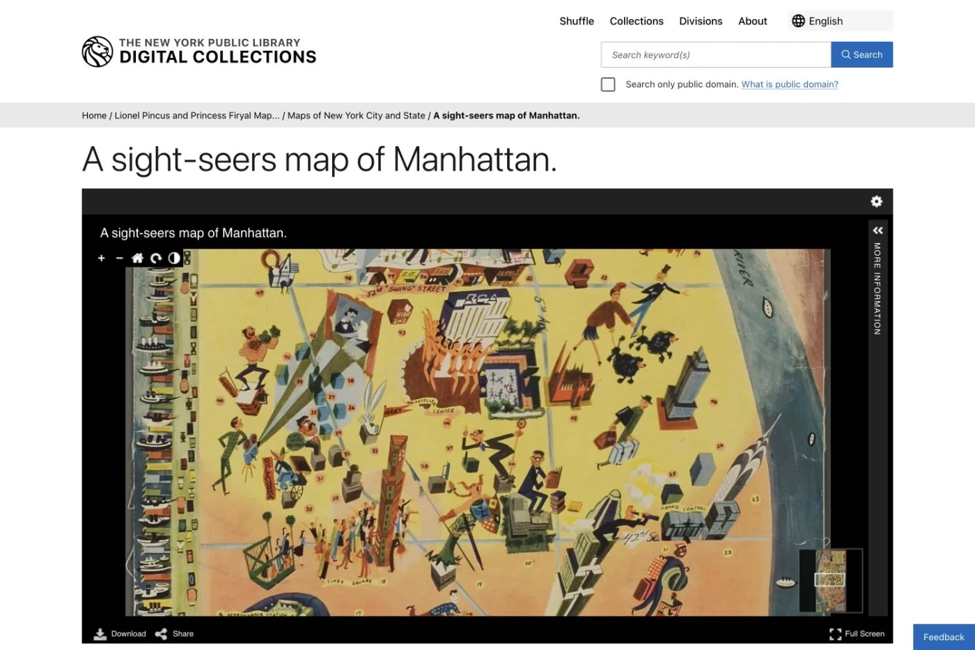
NYPL Digital Collections
The New York Public Library brings georeferenced maps into its digital collections. Readers can overlay historical maps on a modern map directly from an item’s record.
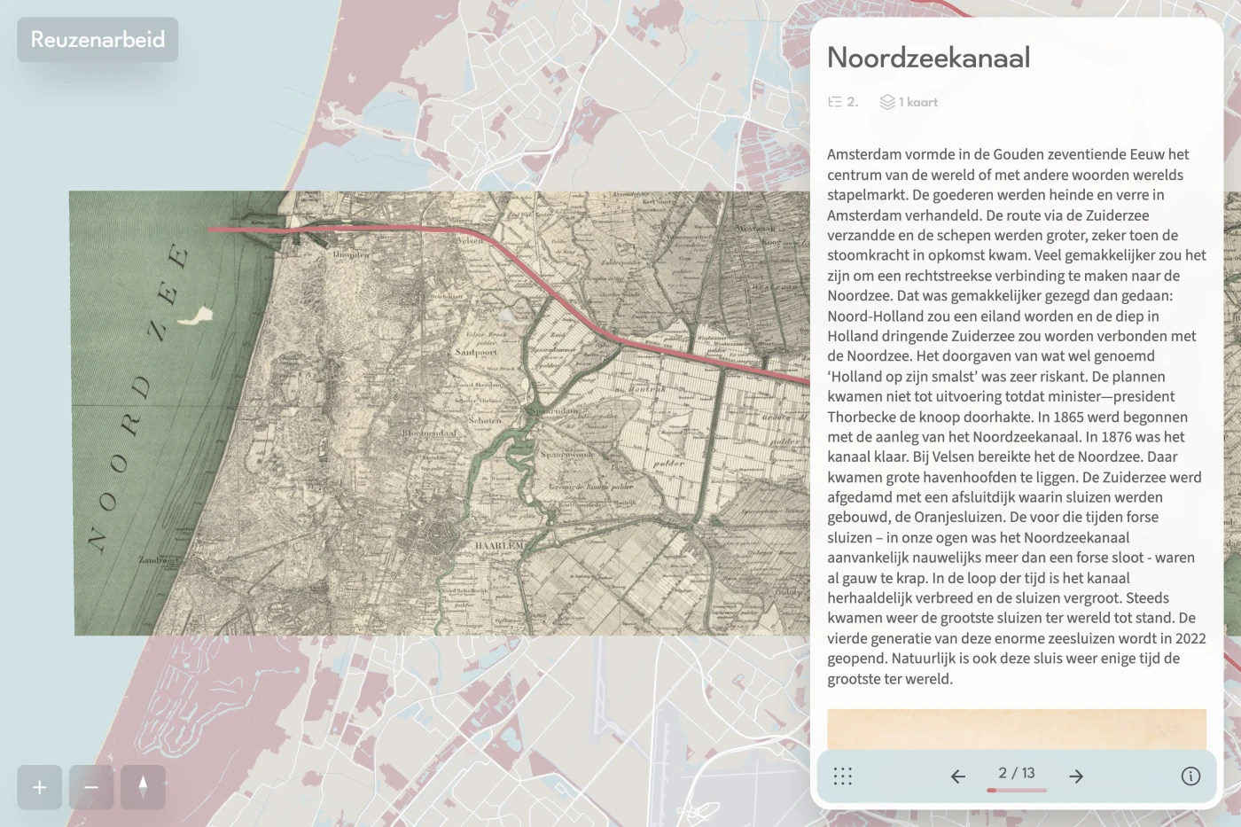
Historical photographs and maps tell the story of the canals, railways, bridges and other engineering works that shaped the modern Netherlands. An interactive companion to Willem van der Ham’s book, developed with TU Delft Library.
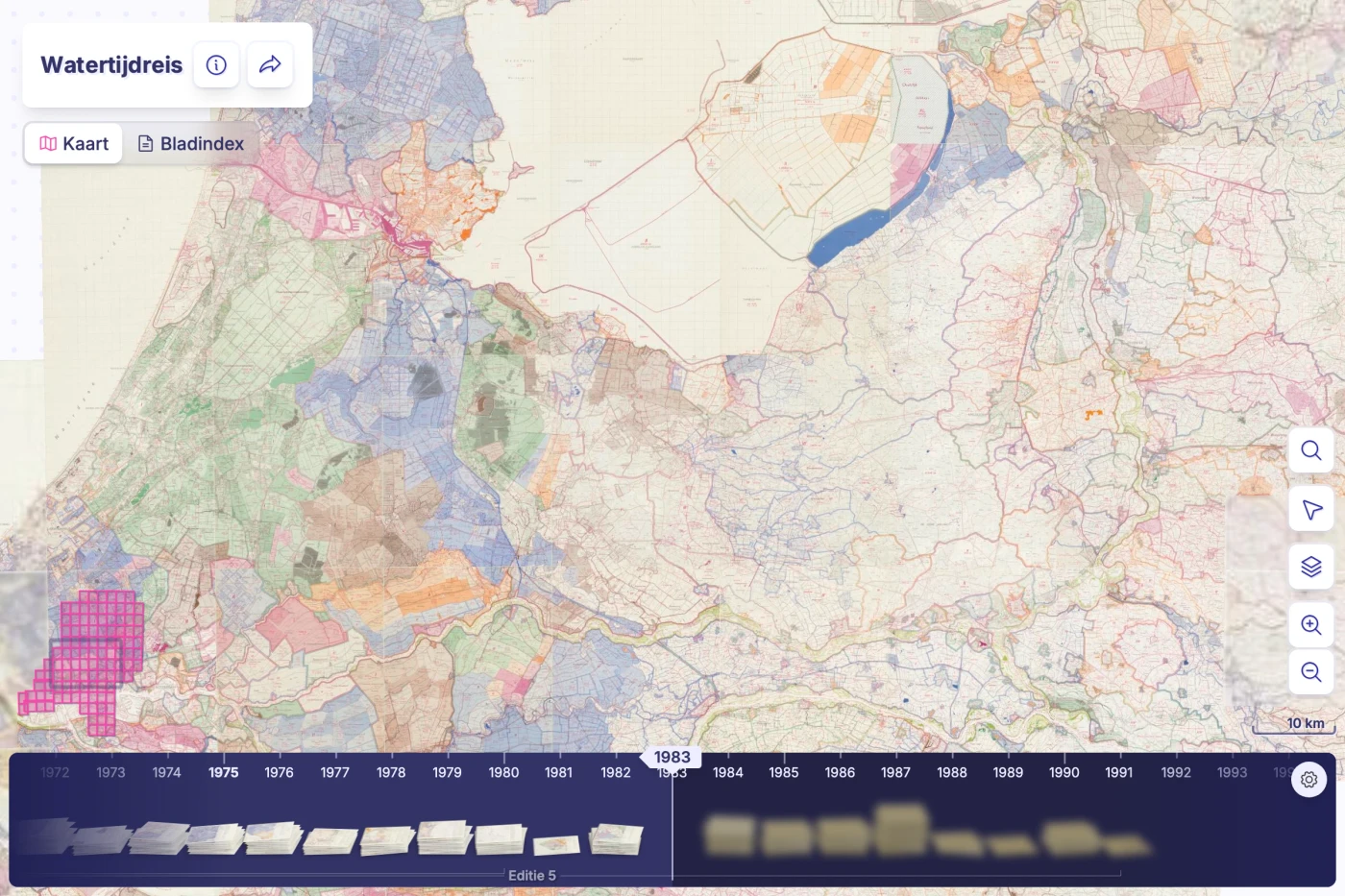
Explore more than a century of Dutch water management through successive editions of the Waterstaatskaart. Historical map sheets reveal changing waterways, polders, pumping stations and coastlines.
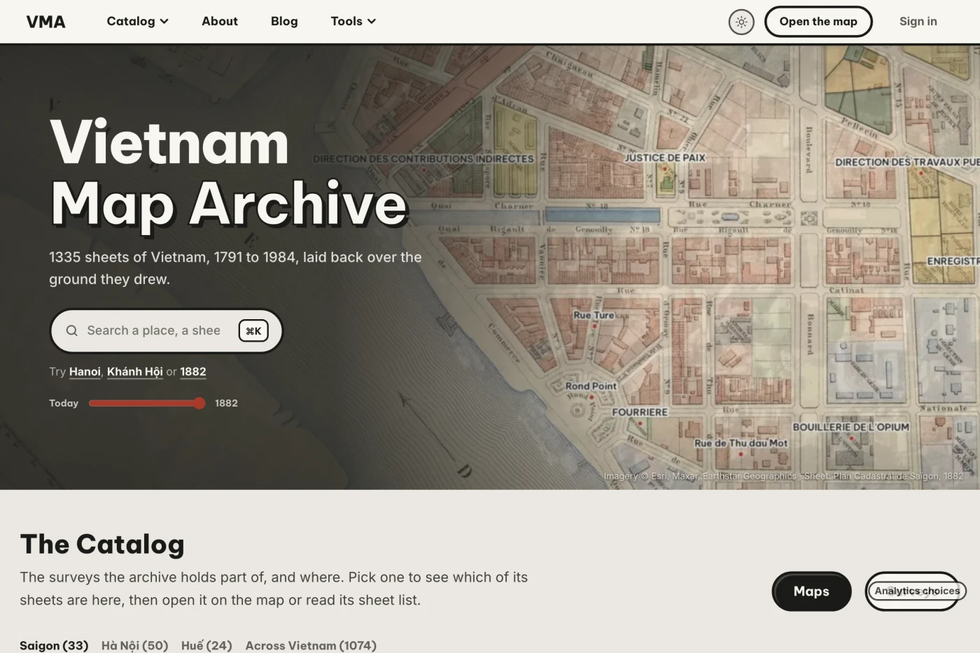
An archive of historical maps of Vietnam, brought together in an interactive map viewer. Allmaps places digitized map sheets over present-day geography so visitors can explore and compare them.
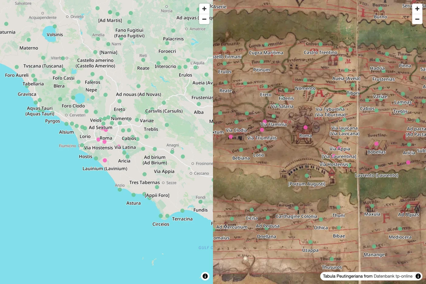
Compare the Tabula Peutingeriana, a medieval copy of a Roman road map, with OpenStreetMap. The side-by-side experiment connects the map’s distinctive, stretched geography to familiar places.
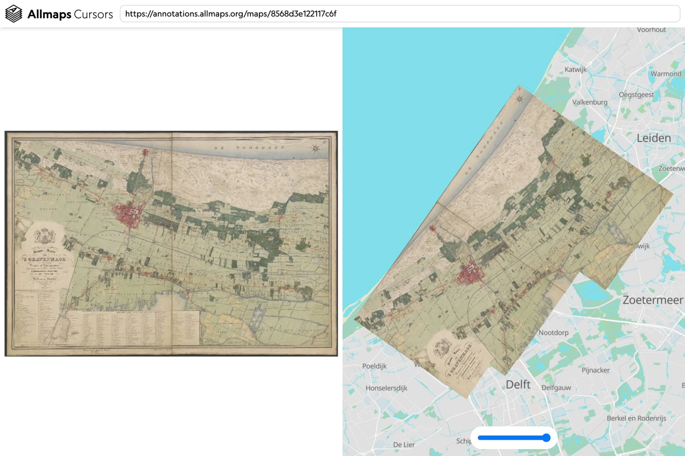
Move between an original map image and its geographic location with linked cursors. This experiment makes the relationship between image coordinates and real-world coordinates visible.
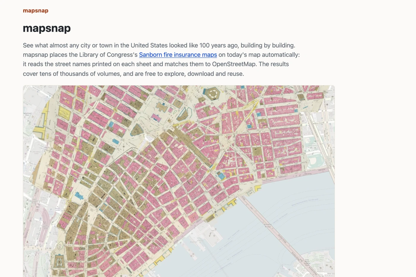
Dan Vanderkam’s project automatically georeferences Sanborn fire insurance maps by matching their printed street names to OpenStreetMap. Explore historical American towns and cities, building by building, and reuse the resulting georeferencing data.
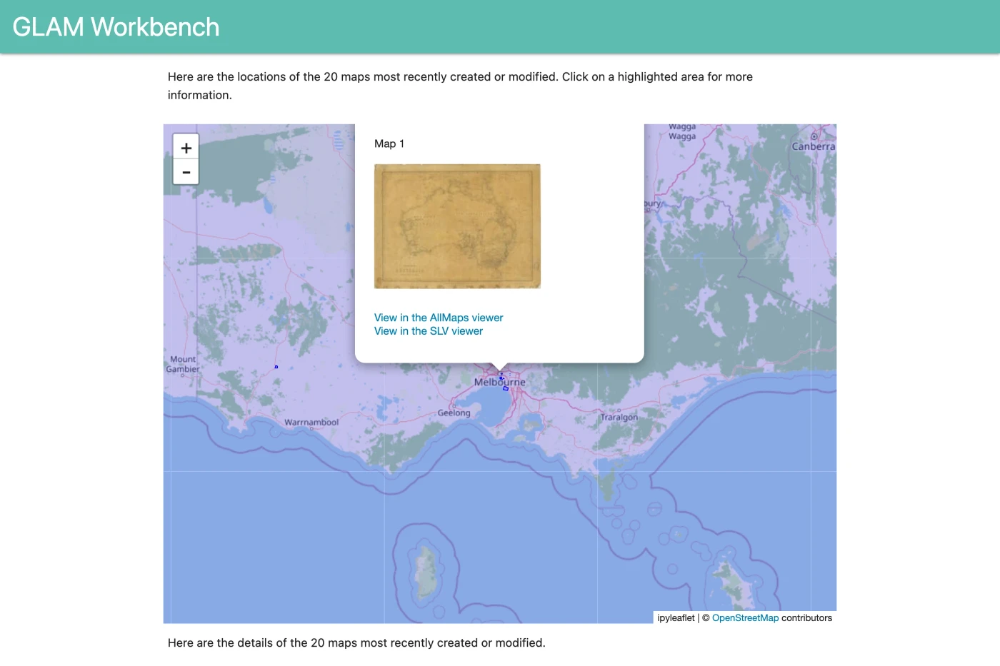
Tim Sherratt’s dashboard follows the georeferencing of maps from State Library Victoria. Browse recent additions, see their locations and follow links to the original collection and Allmaps Viewer.
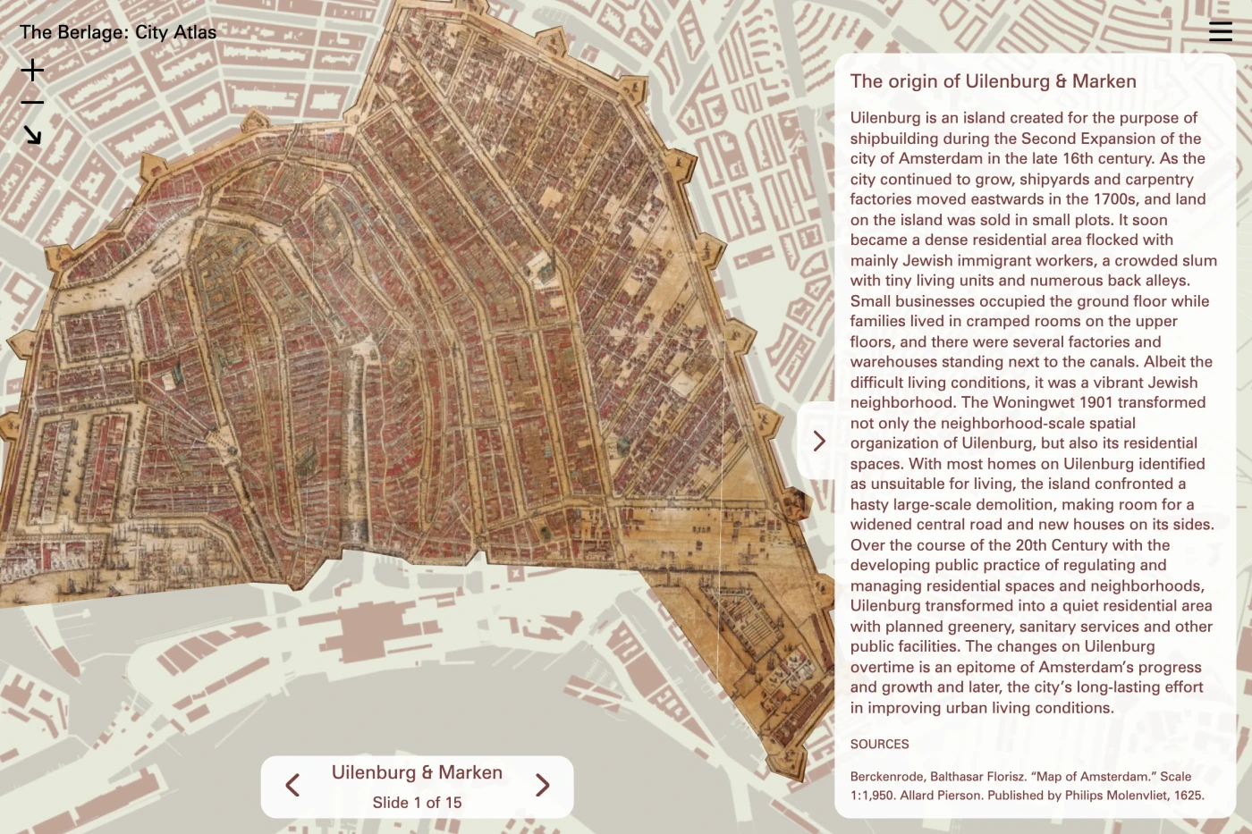
An atlas by students at the Berlage explores urban transformation in Amsterdam. Created with Allmaps and TU Delft Library, it brings archival maps together with new drawings, design research and exhibitions.
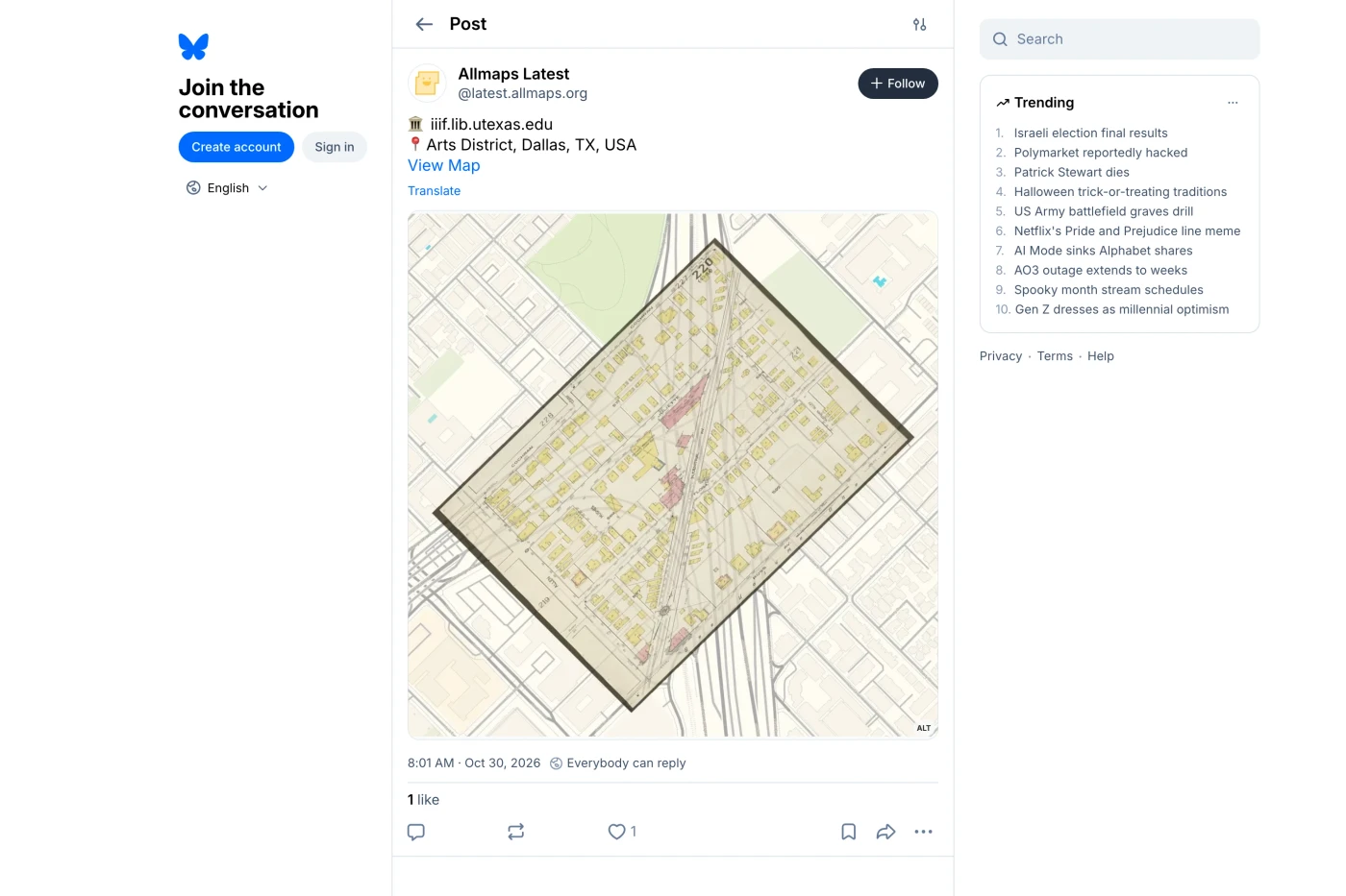
A bot by Brandon Liu and Bert Spaan shares recently georeferenced historical maps on Bluesky. Each post combines an old map with present-day OpenStreetMap features, turning open georeferencing data into everyday discoveries.
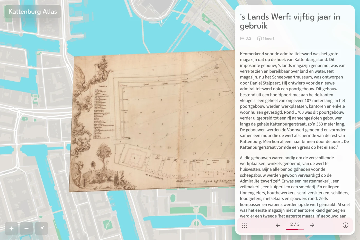
Explore the maritime and military history of Kattenburg in Amsterdam through maps, images and stories. Built with Allmaps Slides, the atlas follows the neighbourhood through land reclamation, shipbuilding, war and redevelopment.
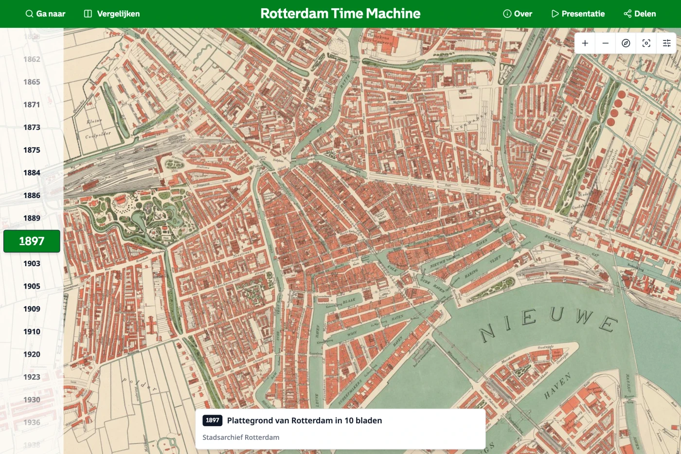
Travel through Rotterdam’s history with a time slider, historical map overlays and side-by-side comparisons. The project began as a student collaboration between Techniek College Rotterdam, Rotterdam City Archive and TU Delft Library.
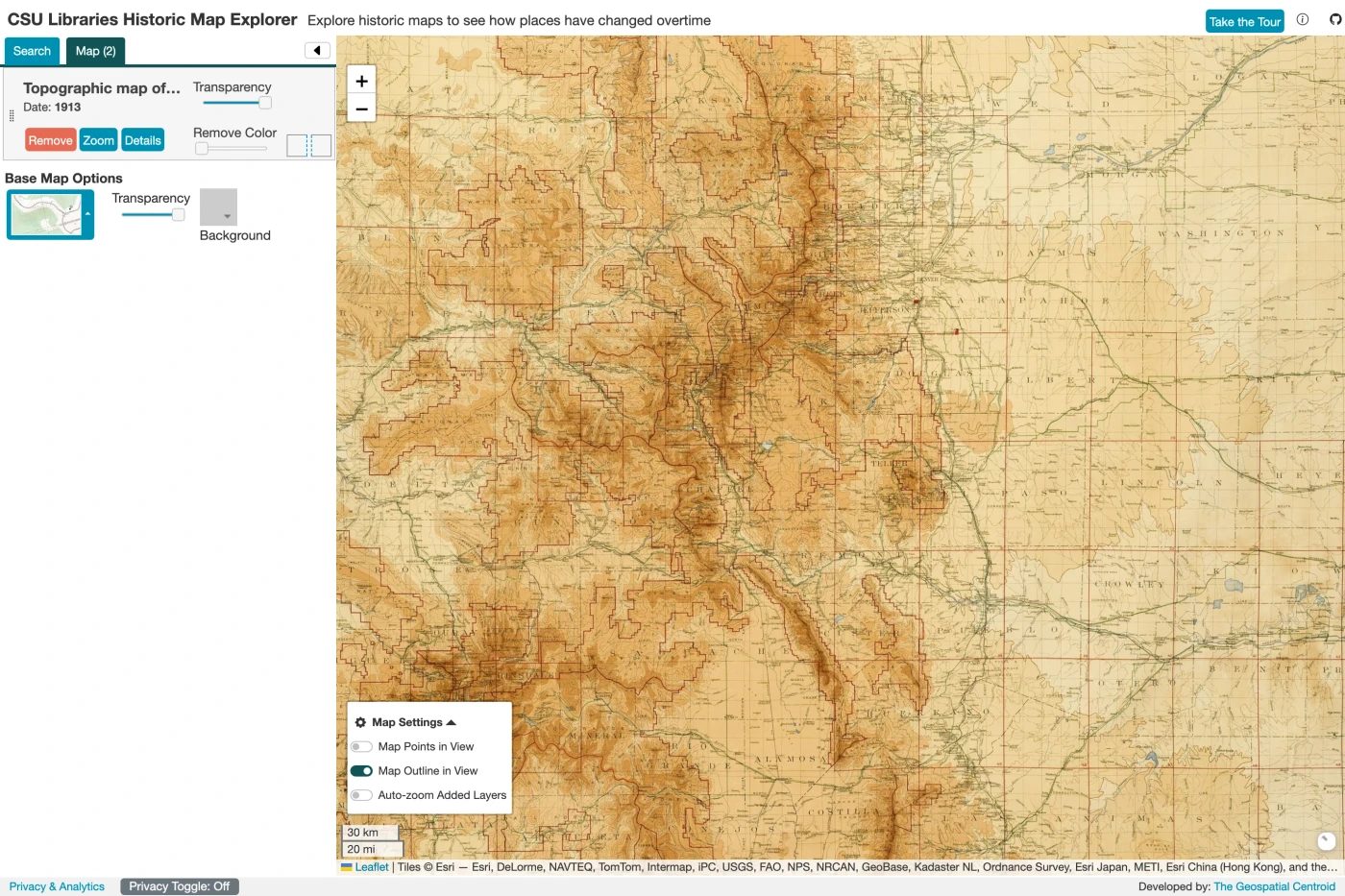
Colorado State University Libraries and the Geospatial Centroid make their historical maps searchable and explorable on a modern map. Visitors can filter the collection, compare overlays and adjust their appearance.
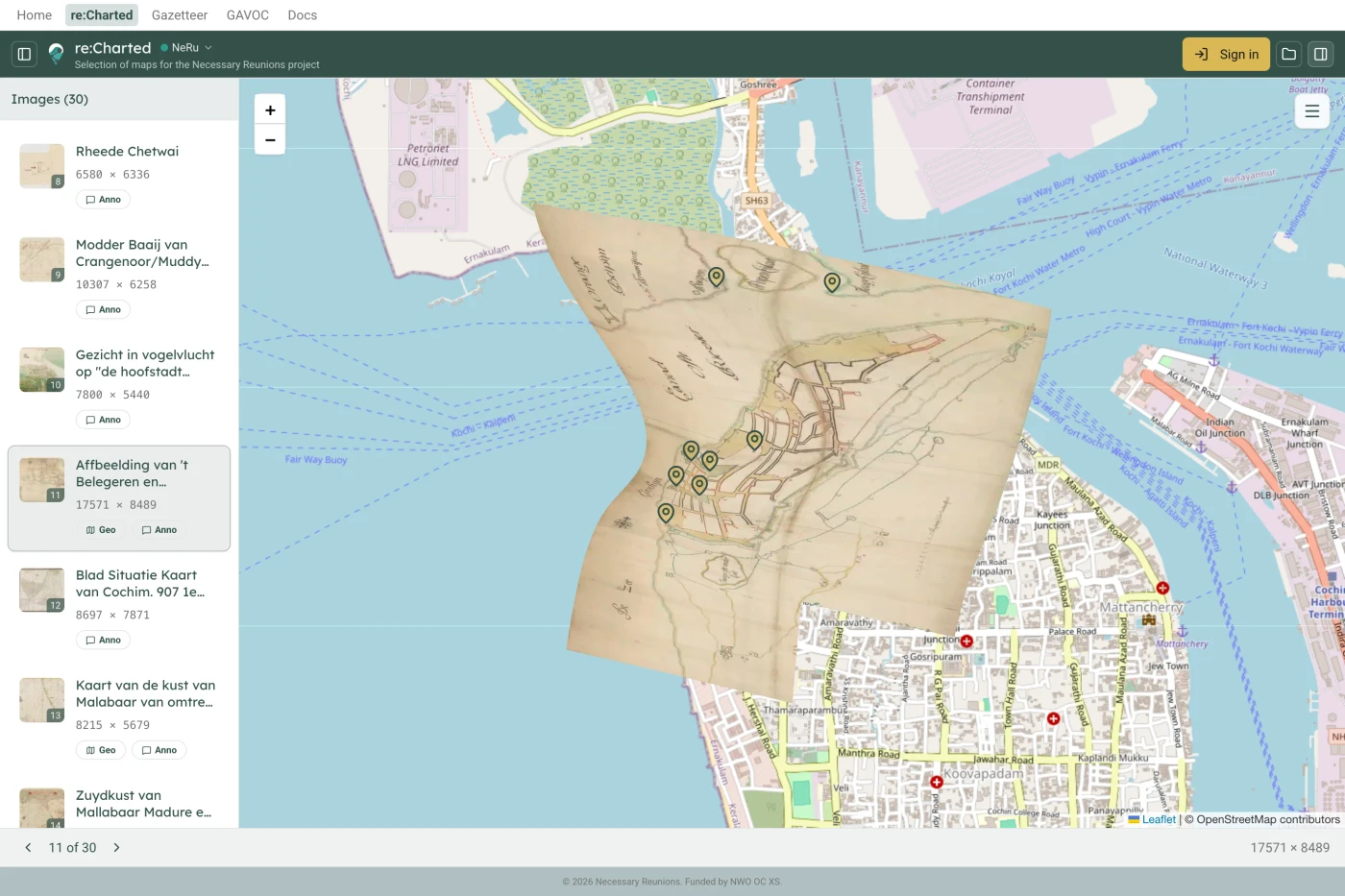
Reconnect maps of early modern Kerala with place names and written records from the Dutch East India Company’s archives. The re:Charted viewer brings together map annotations, georeferenced overlays and a historical gazetteer.
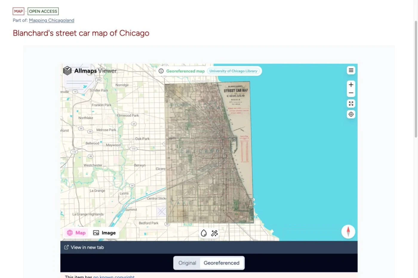
Historical maps from the University of Chicago Library, the Newberry Library and the Chicago History Museum come together in UChicagoNode. An embedded Allmaps Viewer lets visitors compare the city’s streets, neighbourhoods and landscapes with their present-day geography.
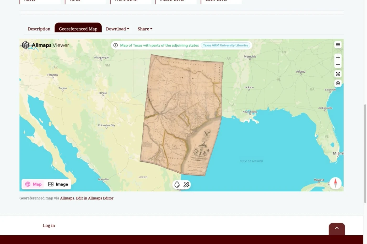
Texas A&M University Libraries adds a georeferenced map view to its digital collection records. Visitors can compare historical maps with modern geography in Allmaps Viewer and contribute new georeferencing that appears automatically in the collection portal.
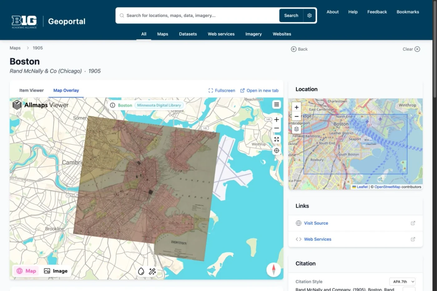
Discover historical maps across university collections, view Allmaps overlays inside catalogue records and open maps in Editor to contribute control points. Search filters distinguish maps with existing overlays from those still waiting to be georeferenced.
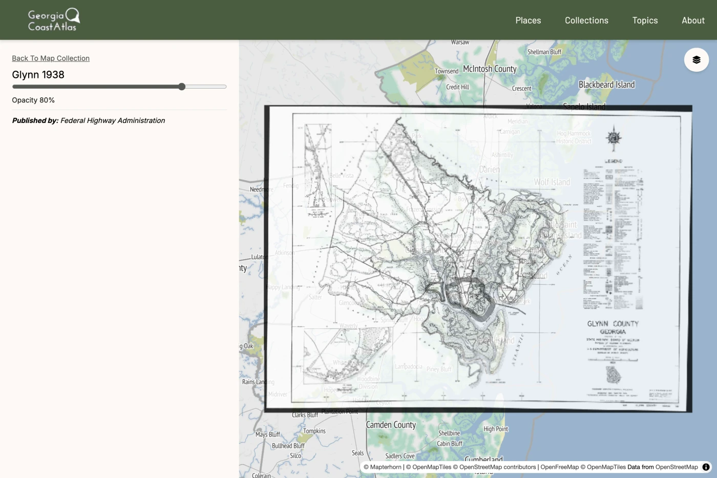
Emory University’s digital atlas explores the ecology, geography and history of Georgia’s coast. Allmaps adds historical map overlays to a collection of maps, photographs, videos and scholarly stories.
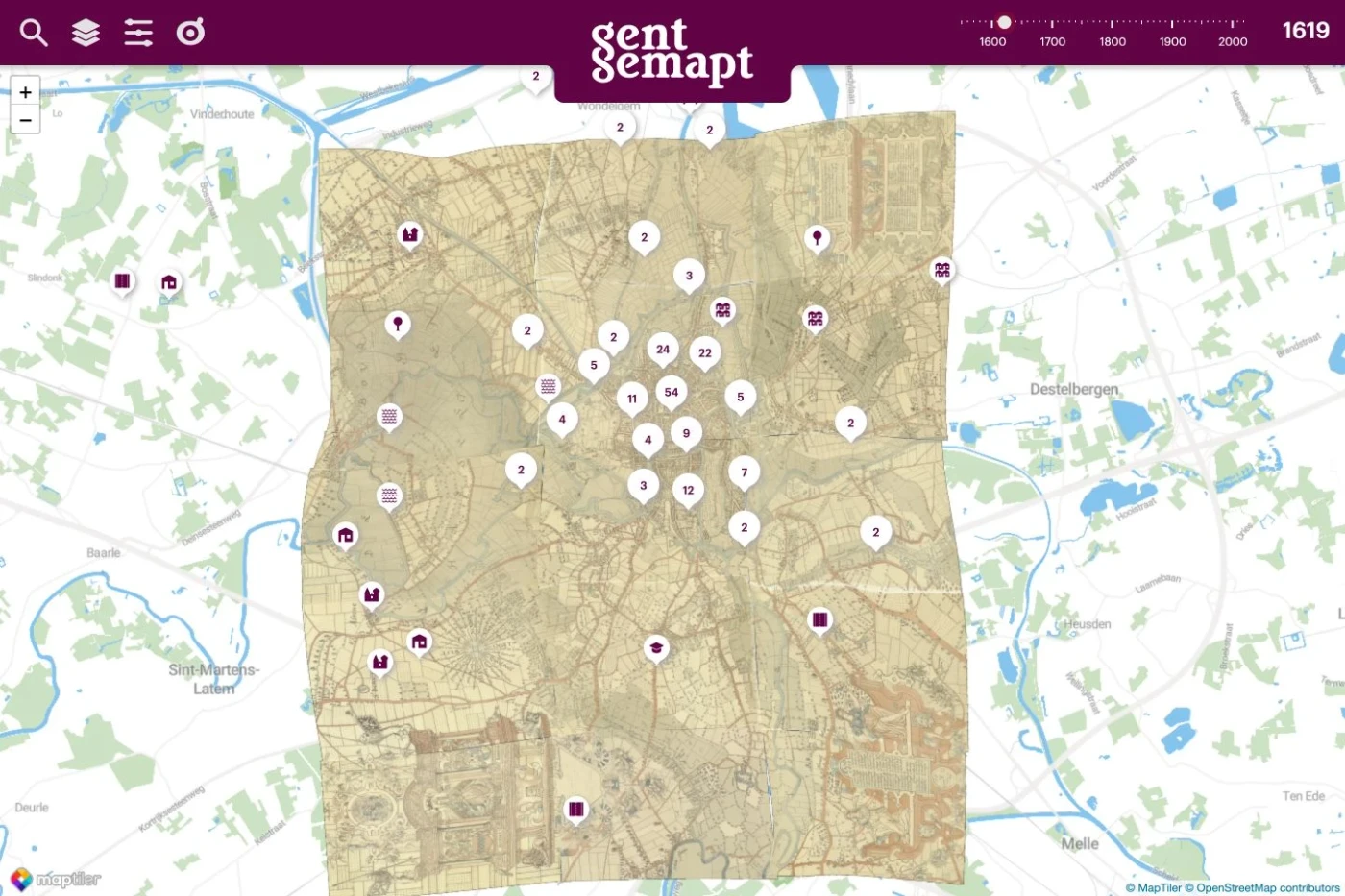
Explore Ghent through historical maps, photographs and heritage collections. Allmaps overlays connect the changing city to its streets, buildings and stories, while a timeline and thematic layers reveal different aspects of local history.
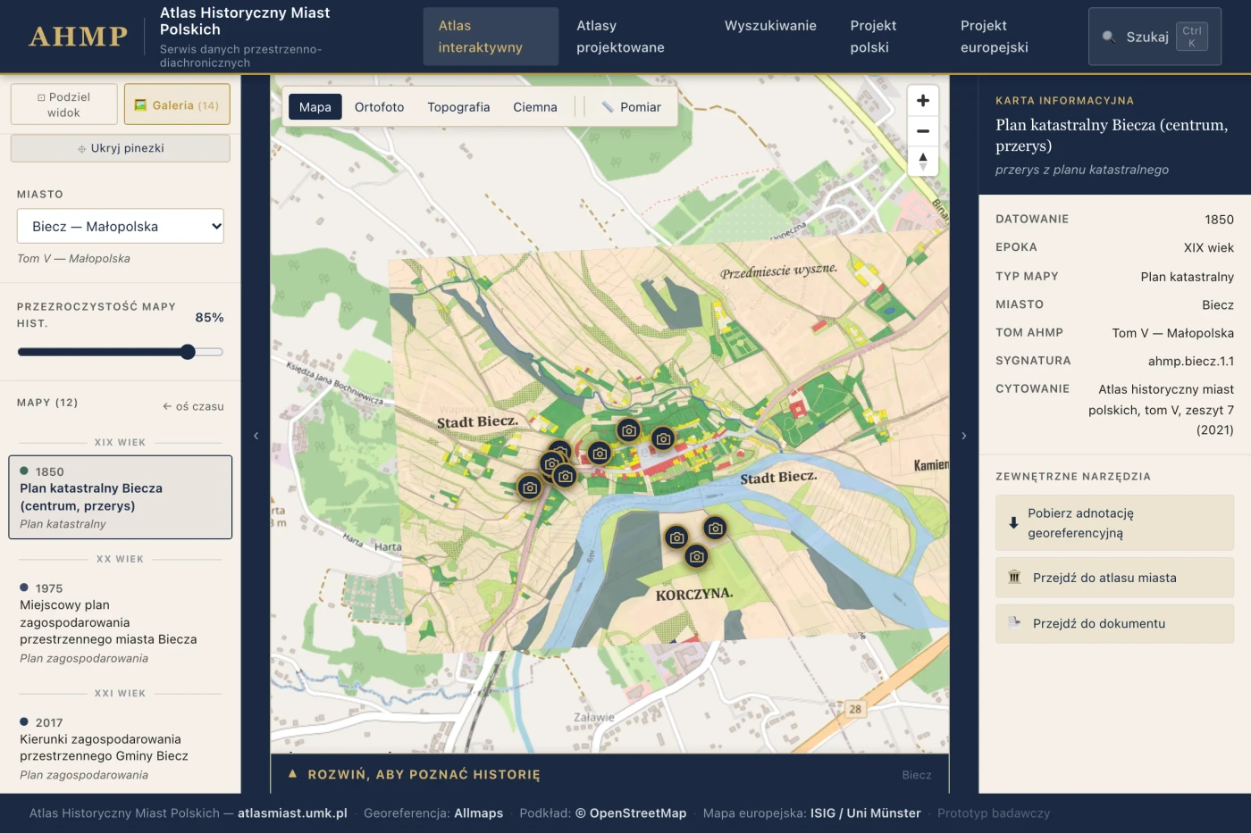
Explore the changing geography of Polish towns through historical maps, photographs and descriptions. This research prototype uses the Allmaps MapLibre plugin for map overlays, with timelines, split-screen comparisons and links back to the original atlas sheets.
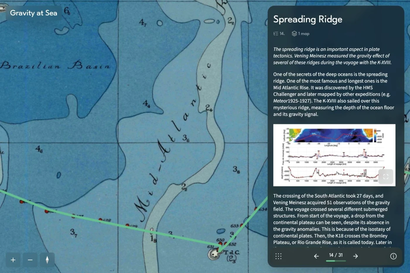
Follow the submarine K-XVIII from Den Helder to Surabaya on Felix Andries Vening Meinesz’s 1934–1935 gravity-measuring expedition. TU Delft Library brings the journey to life through historical maps, photographs and stories in Allmaps Slides.
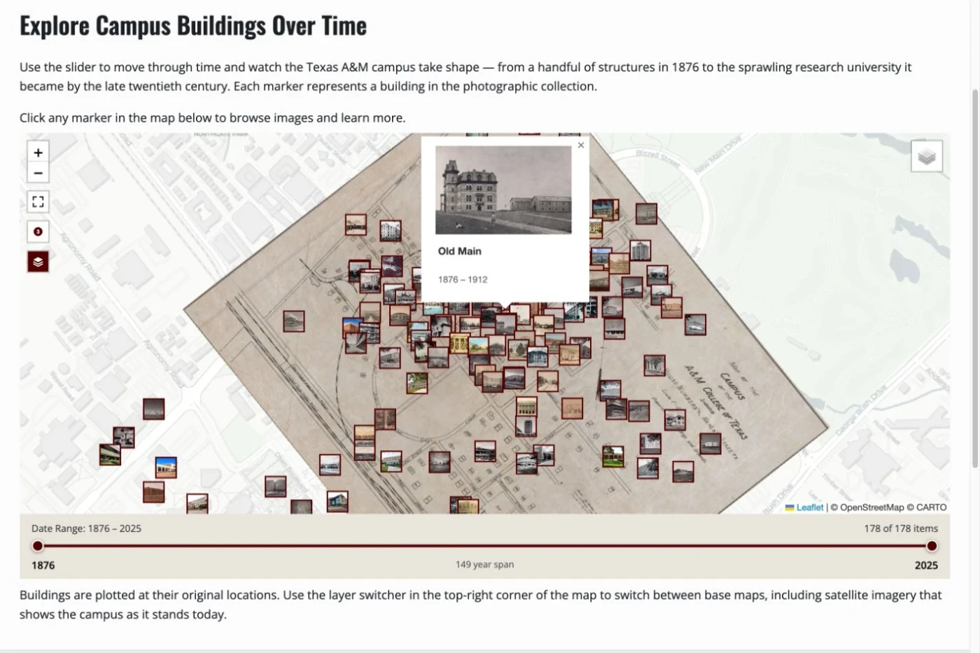
Explore the growth of the Texas A&M campus through its buildings, archival photographs and historical maps. This university library exhibit combines a date slider and building records with Allmaps Leaflet overlays to reveal how the campus has changed.
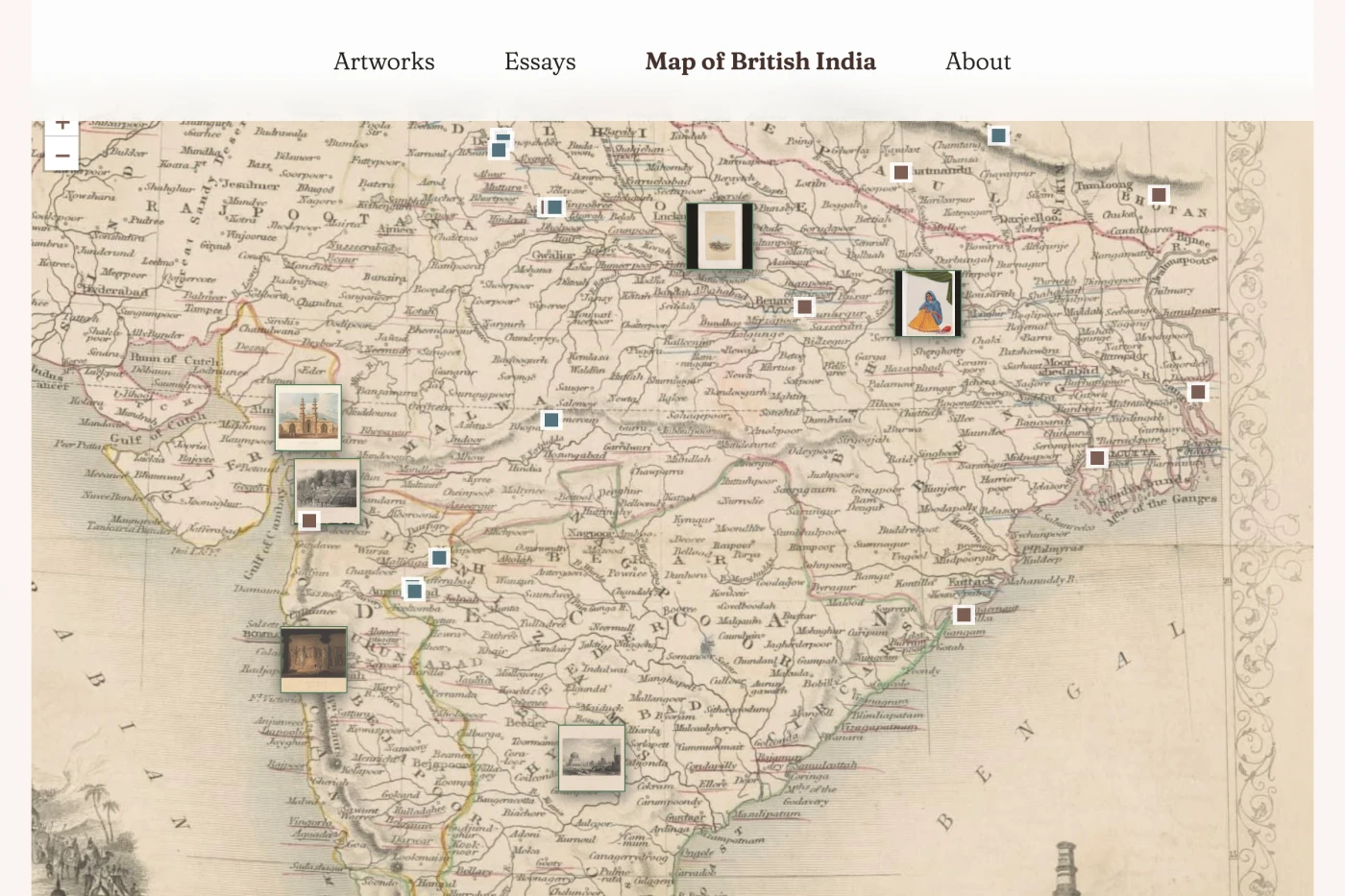
Northwestern University Libraries connects art, architecture and imperial history in a digital exhibition. A historical map of British India brings cities, landmarks and collection objects into geographic context through Canopy’s Allmaps integration.
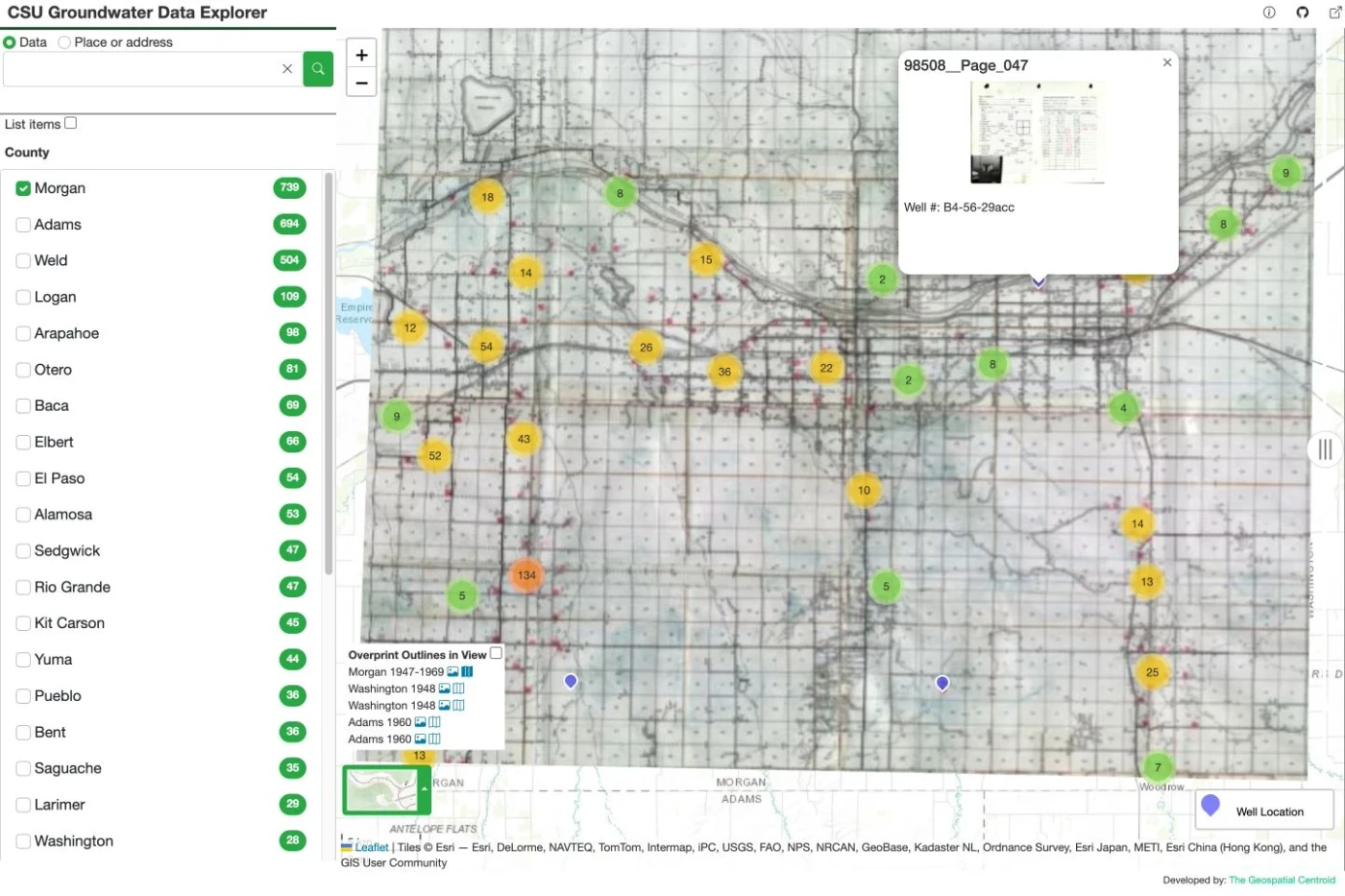
Explore groundwater information alongside historical maps of Colorado. Colorado State University’s Geospatial Centroid uses the Allmaps Leaflet plugin to place older map sheets in the same view as contemporary geographic data.
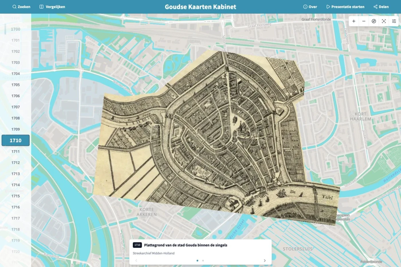
Gouda Tijdmachine brings historical maps from different collections together to explore the city’s changing streets and waterways. Built on Rotterdam Time Machine, the viewer uses Allmaps georeferencing for overlays and comparisons across time.
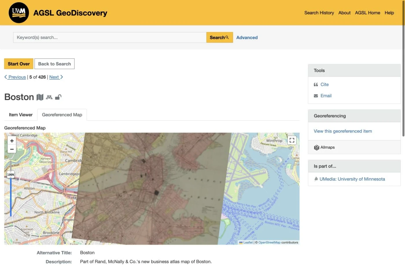
The American Geographical Society Library at the University of Wisconsin–Milwaukee makes maps and geographic datasets discoverable through one portal. Its Blacklight Allmaps integration connects historical map records with georeferencing and geographic viewing.
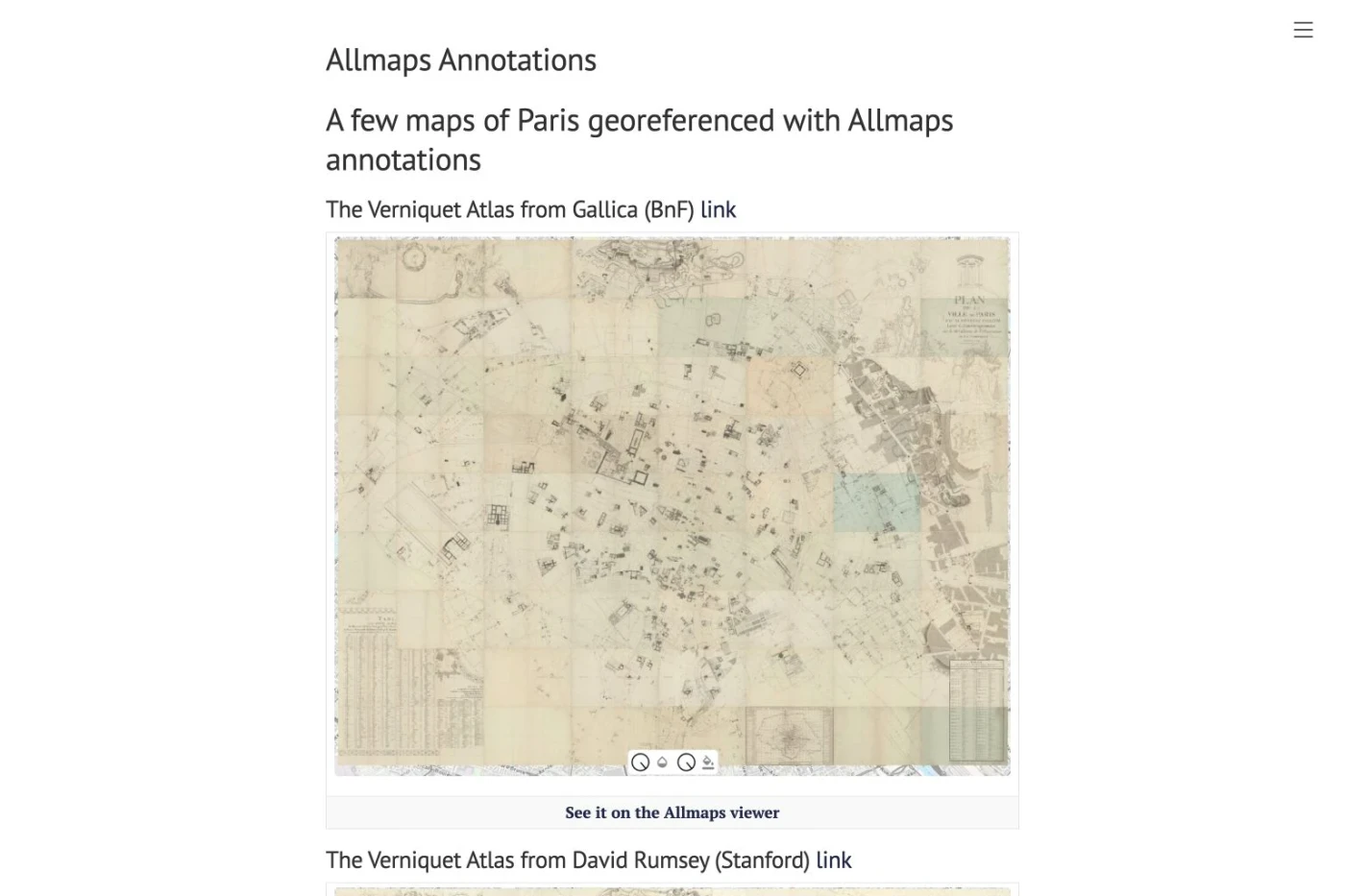
The SODUCO research project publishes georeferencing data for the Verniquet atlas and successive municipal atlases of Paris. Allmaps annotations and Viewer links make these sources available for exploring the city’s historical geography and social change.
Explore the American Revolutionary era through historical maps, people and interpretive stories. ARGO brings partner collections together and connects map records to Allmaps for georeferencing and viewing them against modern geography.
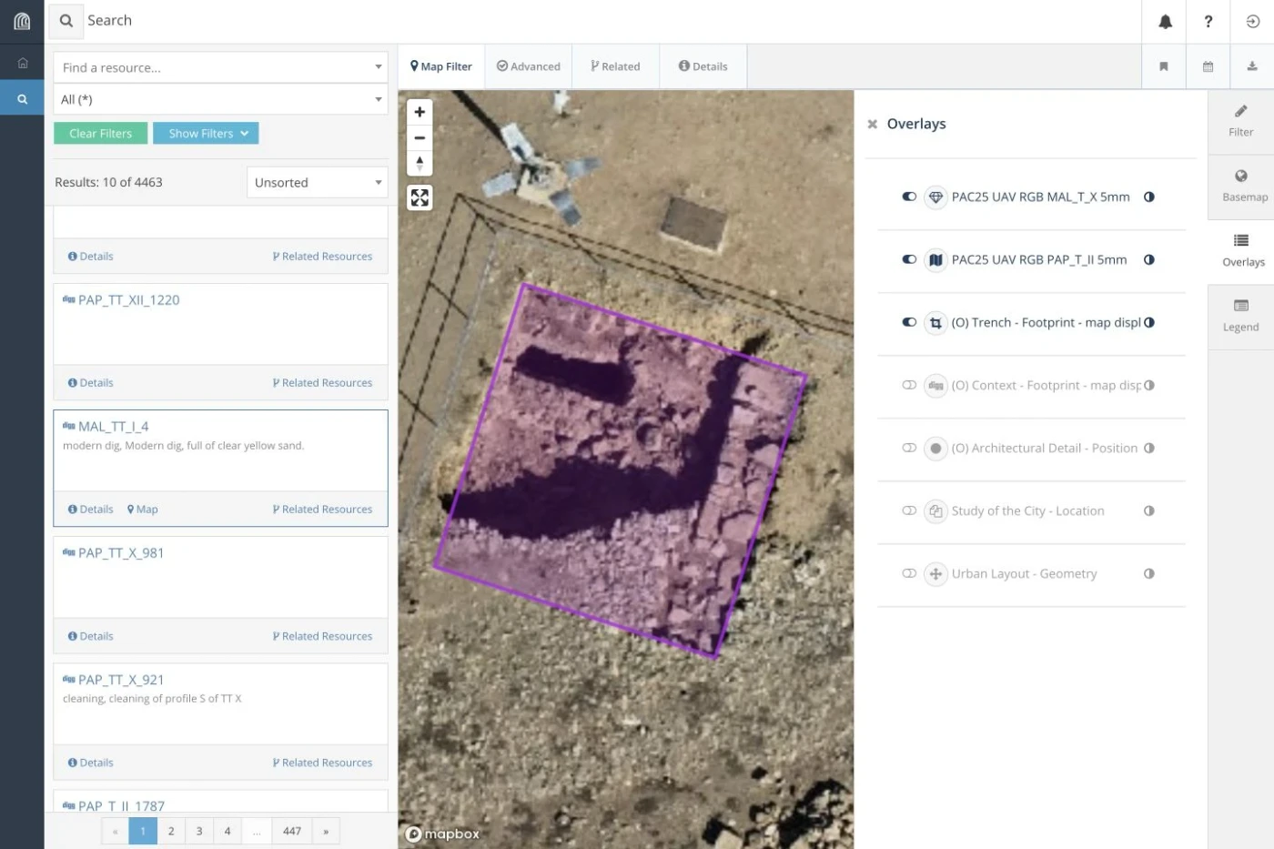
An archaeological research platform developed by Jagiellonian University and Warsaw University of Technology. Its customized Arches environment brings Allmaps into workflows for connecting excavation plans and historical imagery with geographic context.
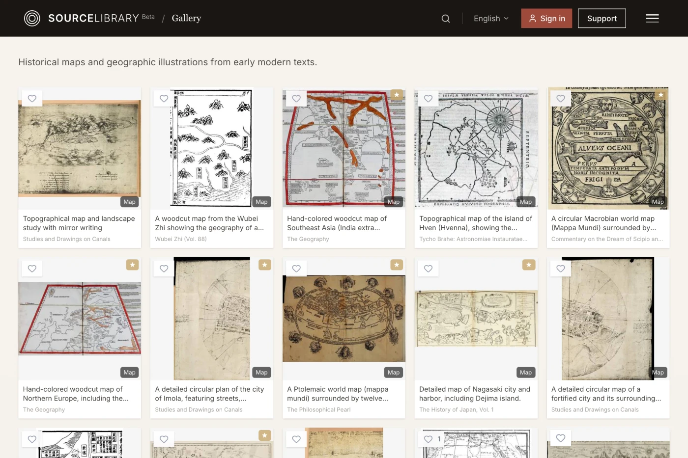
Discover maps tucked into digitized books, from Renaissance atlases to city plans and travel accounts. Source Library’s map records link to Allmaps Editor, inviting readers to georeference the original IIIF materials.
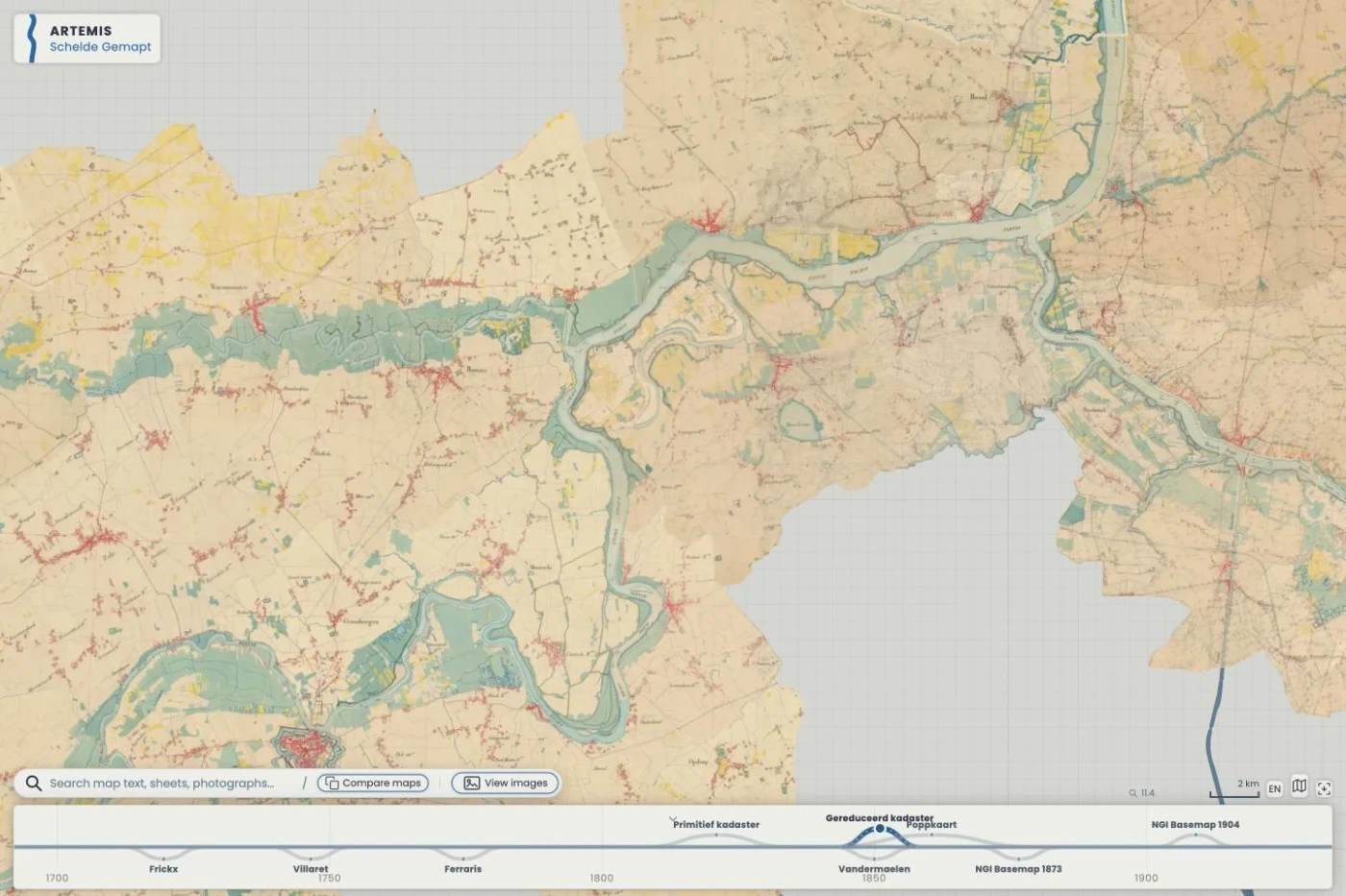
Explore the changing landscape of the Scheldt valley through historical maps, cadastral plans and photographs. Developed by the Artemis research project, the viewer combines a timeline and map comparisons with Allmaps overlays and georeferencing contributed by volunteers.
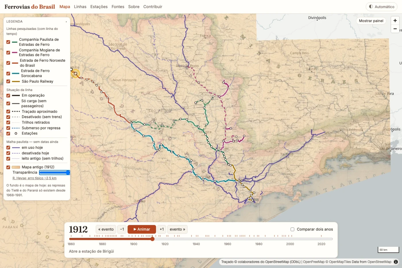
Follow the development of Brazil’s railways, beginning with the networks of São Paulo state. An interactive timeline traces changing routes and stations, while Allmaps overlays a 1912 railway map to connect historical sources with the landscape today.
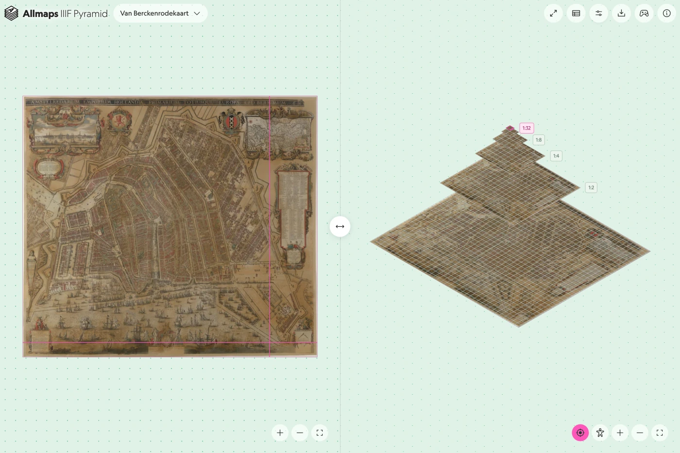
A linked image viewer and tile pyramid show how IIIF delivers large maps and artworks at different resolutions. Created by Jules Schoonman, the explorer uses Allmaps rendering to let visitors inspect tiles, compare zoom levels and follow their position through the pyramid.