
Tools
Apps and tools to georeference, explore and use digitized maps.
-
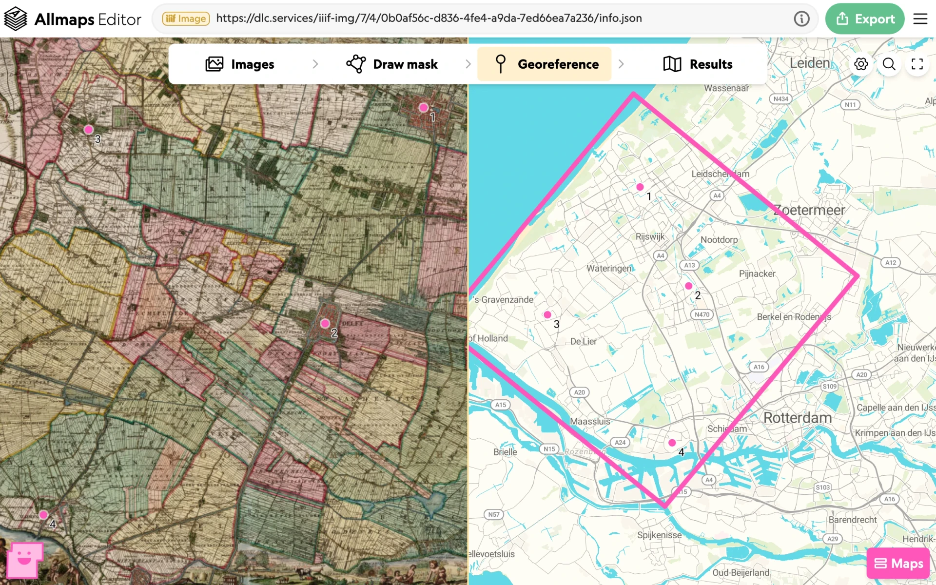
Georeference IIIF maps by entering the URL of a manifest or image.
-
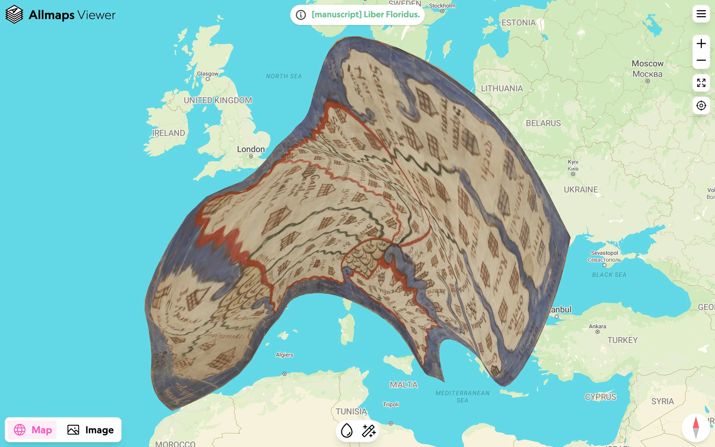
View georeferenced maps from a Georeference Annotation URL.
-
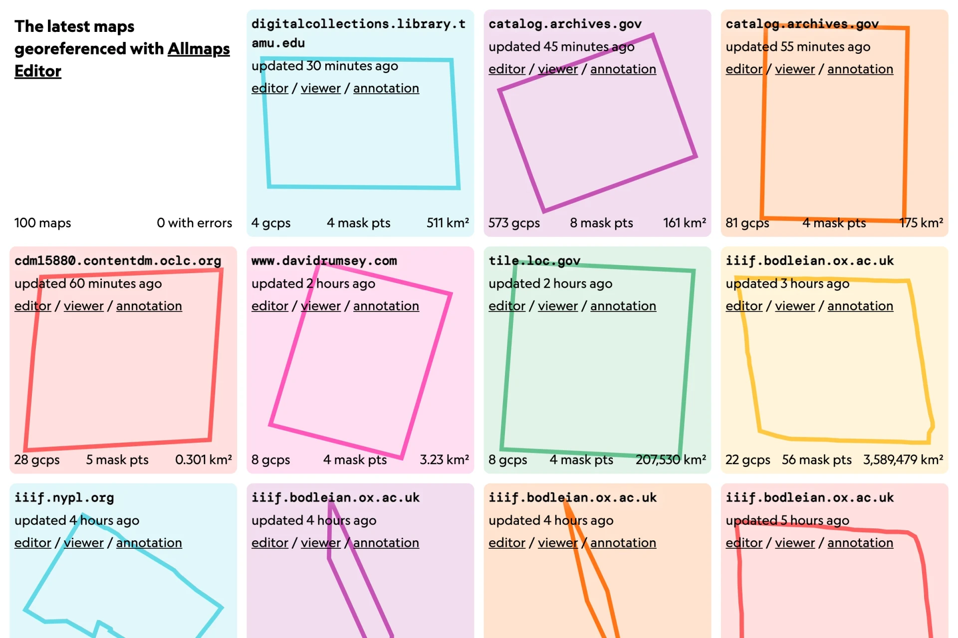
Browse the latest maps georeferenced with Allmaps Editor.
-
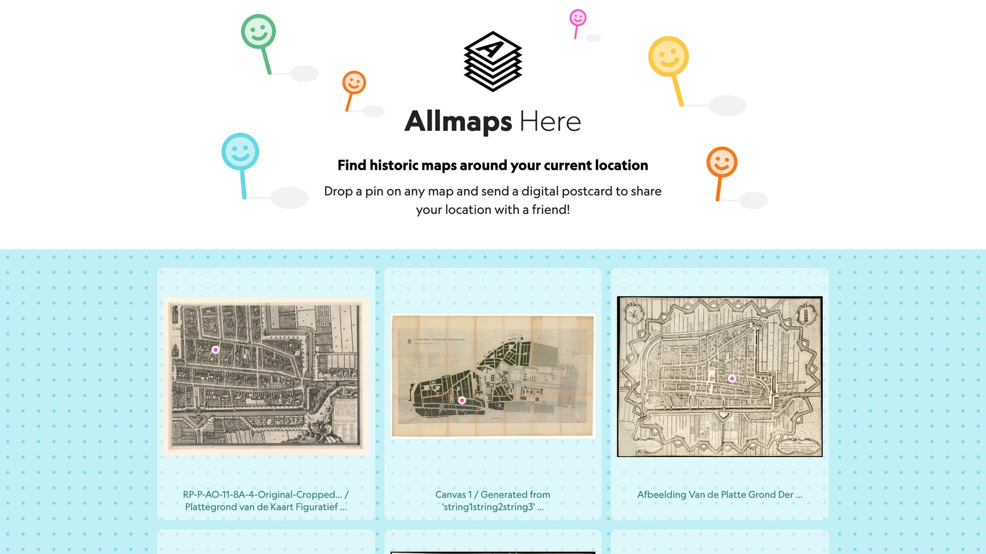
Find georeferenced maps near your current location.
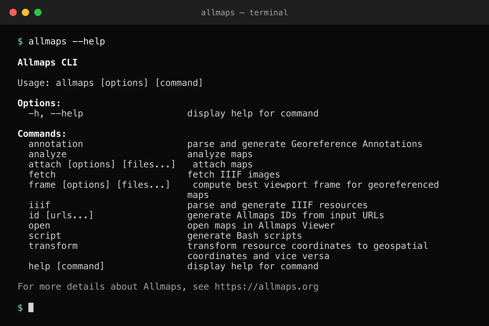
Work with Allmaps from the command line.
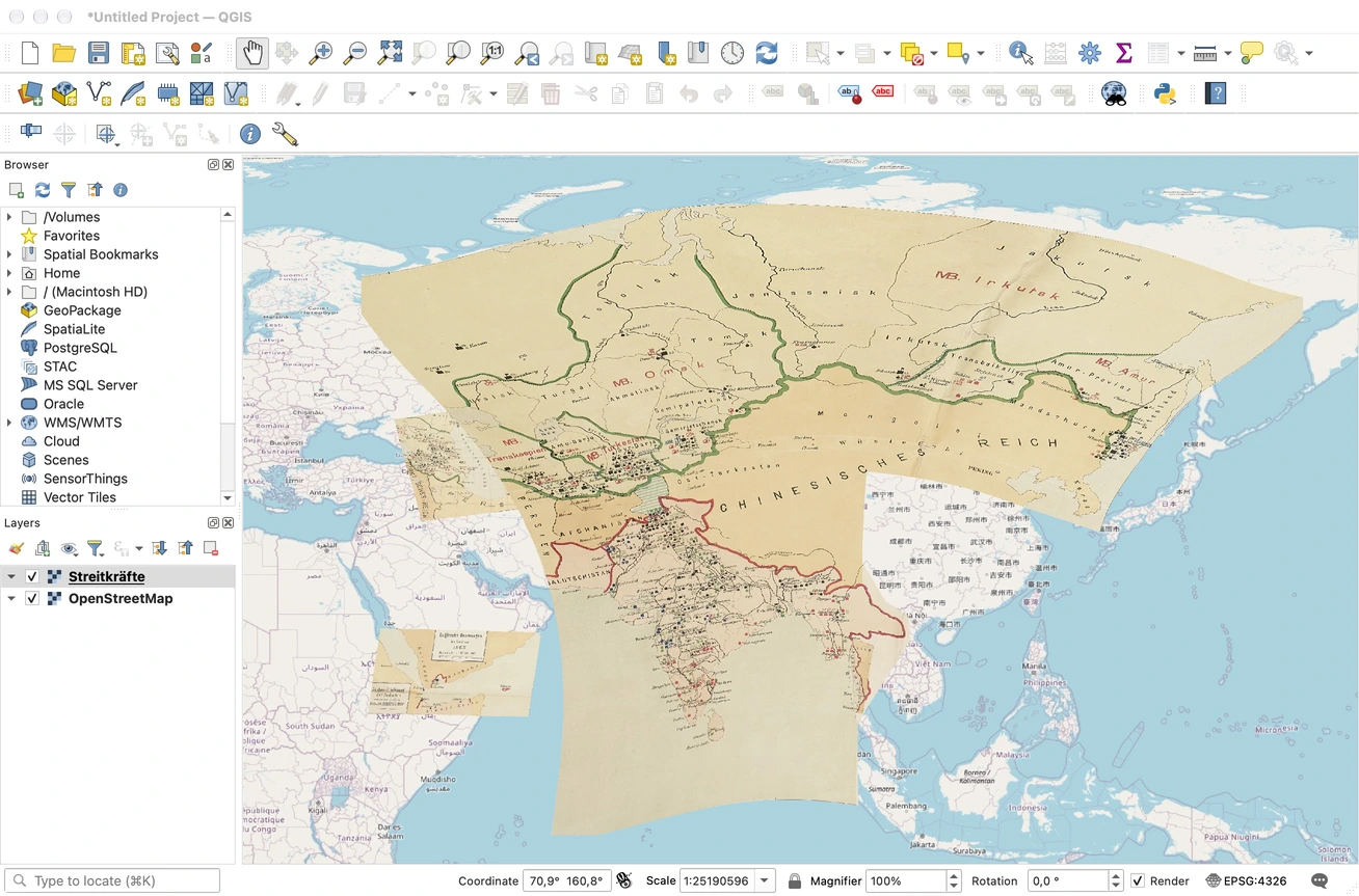
Use Georeference Annotations as XYZ tile layers in other tools.
-
Put historical maps back where they belong in a map-placement game.
-
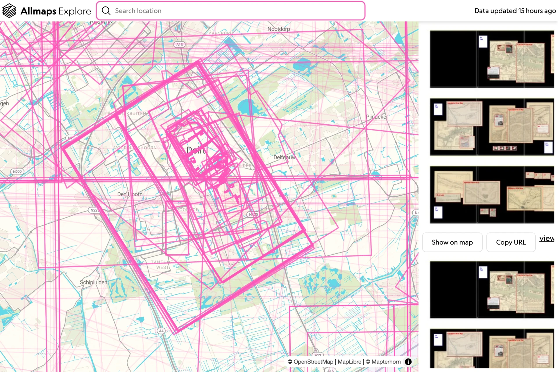
Allmaps Explore
PrototypeExplore georeferenced maps by place, with map footprints and image previews.
More tools and experiments can be found on GitHub and Observable.